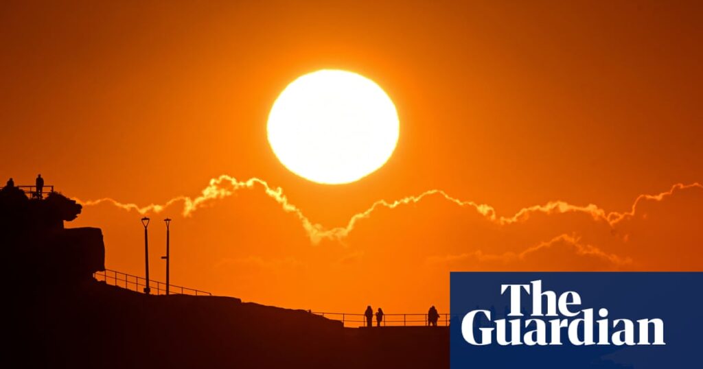
Sydney and Brisbane are in for a hot public holiday on Monday, with temperatures set to pass 30C in both capitals.
The warm weather comes after a soaking September on Australia’s east coast smashed monthly rain records across 21 places in Queensland and six in New South Wales following a record-breaking rain in August.
Sydney and Brisbane are forecast to swelter through 31C and 32C respectively on Monday, a public holiday in NSW and Queensland. Monday is also a public holiday for ACT and South Australia, with showers forecast for Canberra and Adelaide.
Sign up: AU Breaking News email
As parts of the south-east enjoy their warmest weekend since autumn began, data from the Bureau of Meteorology confirmed many in Queensland and NSW have just come through their wettest September on record.
Topaz, in Queensland’s Tablelands, was the wettest place in Australia overall last month. About 700mm of rain fell during September, more than doubling the town’s previous record (305mm in 2020), and more than six times its average (106.8mm).
It was a similar story in other parts of the region. Millaa Millaa, a 30-minute drive away, more than doubled its previous rainfall record of 137mm (set in 2023) reaching 313mm for the month. Ravenshoe received 174mm, breaking its previous record of 85mm (2010).
Farther north, Mulgrave Mill south of Cairns recorded 174mm in September, breaking an 89-year-old record of 110.5mm set in 1936. Cairns Aero set a new record after 83 years, with 148.4mm falling in September (breaking its 1951 record of 103.2mm).
Sixteen places in the state topped daily rain records for the month. They included 379mm in 24-hours in Topaz on 17 September (more than tripling the previous top of 100mm on 1 September 2021). And Willis Island nudged 0.2mm above a 92-year-old record, setting a new high of 72.8mm.
Queensland’s rain was “variable”, according to Weatherzone’s Ben Domensino, with healthy totals in the south-west and north-east, but dry in the south-east.
“Brisbane only collected 0.8 mm of rain through the entire month, making it the city’s driest September in 38 years.”
Six sites in NSW broke monthly rain records for September – including Albion Park, Nowra Boat Shed, Menangle Bridge, Touga, Hampden Bridge and Kiama.
As a low pressure system crossed the state on 10 and 11 September, daily rainfall records tumbled in more than 40 places.
Sydney stations collected more than a dozen daily records in September, after the city’s third wettest August since 1858.
Marrickville Golf Club recorded 81mm on 11 September, breaking a previous record of 73.7mm in 1916. The city’s wettest site was Cronulla South Bowling Club, where 147mm fell, breaking a 1949 old record of 90.9mm.
Meanwhile South Australia and Victoria were much drier, with September rain 44-45% below the 1961–1990 average.
On Sunday, widespread rain and isolated storms were expected for southern parts of the country as a cold front and cloud band moved eastwards from Perth, according to the bureau’s senior meteorologist Sarah Scully. Showers were expected to develop in southern parts South Australia, Victoria and Tasmania and linger into Monday.
The weekend was the warmest since autumn began for many in the south-east, Scully said, with the peak of the heat expected to reach Sydney on Monday.
“A lot of heat has been dragged down over south-eastern Australia in the gusty north-westerly winds ahead of the cold front,” she said, and significantly cooler conditions following in its wake.
Monday’s forecast for the capital cities:
-
Sydney – sunny, minimum 20C, maximum 31C
-
Brisbane – sunny, minimum 15C, maximum 32C
-
Melbourne – shower or two, minimum 12C, maximum 16C
-
Adelaide – shower or two, minimum 11C, maximum 17C
-
Canberra – shower or two, minimum 11C, maximum 23C
-
Perth – sunny, minimum 8C, maximum 21C
-
Hobart – possible shower, minimum 7C, maximum 14C
-
Darwin – partly cloudy minimum 25C, maximum 35C
Australia’s climate has warmed by 1.5C since the bureau’s continent-wide records started in 1910.

