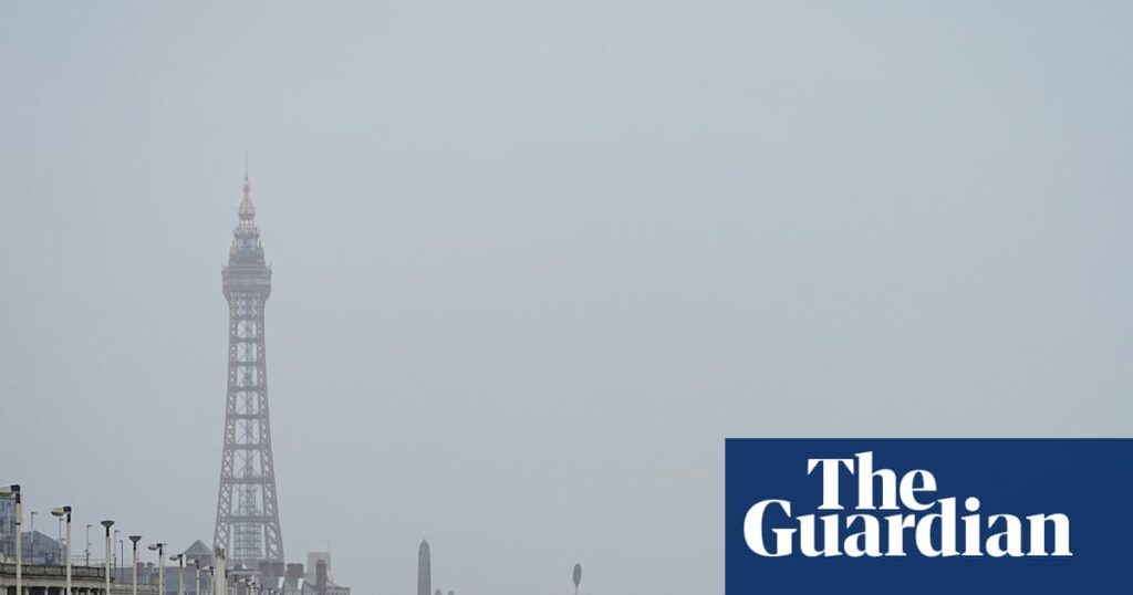
Gusts of more than 100mph from Storm Floris have brought significant travel disruption, power cuts and the widespread cancellation of events across large parts of the UK.
Central and northern Scotland was the most battered area on Monday, on what felt like a winter’s day.
The Met Office said a gust of 106mph had been recorded on Aonach Mor, a mountain in the Highlands with an altitude of 1,130 metres. On exposed coasts, wind speeds of up to 90mph are expected and up to 70mph elsewhere.
Storm Floris was the UK’s sixth named storm of the 2024-25 season and the first since Storm Éowyn in January.
Its arrival led to an amber weather warning in place across much of Scotland with police advising against unnecessary travel. The alert, which warns of there being a danger to life, is in place until 11pm.
A yellow weather warning was in place across southern Scotland, Northern Ireland, parts of north Wales and northern England. It warned of “unseasonably strong and potentially disruptive winds” until midnight.
Rail travel was severely disrupted, with LNER telling passengers not to travel north of Newcastle; and Avanti West Coast advising people not to travel north of Preston.
ScotRail said there would be a blanket 50mph speed restriction and many services would stop at midday. Posting on social media, the rail operator asked people who lived near railway lines to tie down garden furniture and trampolines because of the danger of them blowing on to tracks.
The Forth Bridge was closed to double-decker buses, motorcyclists and pedestrians and many other bridges were closed to high-sided vehicles. In Newcastle, the Tyne Bridge was closed to all traffic because of the wind.
A number of campervans were blown over on the A87 road, which leads to Portree on the Isle of Skye.
Monday’s performance of the Royal Edinburgh military tattoo was cancelled, the first time in its 75 years history that it has not gone ahead because of the weather.
A swathe of Edinburgh Fringe events were also cancelled, with the Pleasance Courtyard and the Pleasance Plaza both closed until 6pm.
Floris is the strongest named storm to have taken place in the month of August so far. Since the naming process was started in 2015, there have been five such storms in August. The Met Office forecaster Peter Sloss told BBC Radio Scotland it represented “uncharted territory”.
Dr Jess Neumann, associate professor of hydrology at the University of Reading, said summer storms came with added dangers.
She said: “There is a potential danger to life as Storm Floris is due to hit during peak summer holiday time when people may be travelling or visiting unfamiliar places outside of their usual area. When the unexpected hits, that’s when people are the least prepared and most at risk.”
There were reports of fallen trees on roads and rail lines across the affected area as well as a number of power cuts in Northern Ireland and Scotland.
The Met Office’s chief meteorologist, Matthew Lehnert, said: “Across the warning area, many inland areas are likely to see gusts of 40-50mph, with 60-70mph more likely at higher elevations and around exposed coasts in Scotland. There is a small chance that some locations here could even record gusts of 85mph.”
The strongest winds were likely to affect Scotland on Monday afternoon and night but there was some uncertainty over the depth and track of Floris, a spokesperson added.
Lehnert said: “Winds will first ease in the west during later Monday but remaining very strong overnight until early Tuesday in the east. Heavy rain may also contribute to the disruption in places.”

