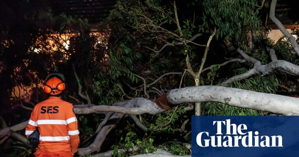
New South Wales is heading for a sodden Saturday, with the wet and wintry weather that has been plaguing the east coast expected to ramp up over the weekend.
After a week of intermittent showers, the bulk of the rain was forecast to hit on the weekend as a low-pressure system deepened off the coast, according to the Bureau of Meteorology.
“The rain, which we’ve seen over the past few days for eastern Australia, will be greatly amplified,” said senior meteorologist Angus Hines. “That’s going to mean a very, very wet weekend.”
Sign up: AU Breaking News email
Heading into Saturday, the weather system was expected to hone in on NSW, with severe weather warnings issued for damaging winds and heavy rainfall for central eastern parts of the state.
Much of the NSW coastline could receive falls of between 50 to 100mm over the weekend, Hines said, with the heaviest falls expected for the coast and ranges between the Hunter and mid north coast. Some places could even see “a serious amount” – more than 150mm.
The NSW State Emergency Service urged residents in coastal areas to prepare for the risk of flash flooding and renewed river rises, along with potential storm damage with damaging wind gusts of about 90km/h likely.
Assistant commissioner Nicole Hogan said there were simple things people could do to reduce the risk, such as clearing gutters and downpipes, trimming trees and tying down loose items.
Flood watches had already been issued for rivers between Newcastle and Coffs Harbour, some of which could spill, causing minor or moderate flooding.
“We would also like to remind everyone to never, under any circumstance, drive through flood water,” she said. “If you come across a flooded road, stop, turn around and find an alternative route.”
While less than half of the amount of rainfall that fell in May was expected over the weekend, the ground was already “pretty waterlogged” and it would not take much to get the rivers going, Hines said.
At higher elevations, snow was “definitely possible” on Saturday morning, he said. Flurries in the central and northern tablelands of NSW were likely, and there was even an “outside chance” of snow in the Granite Belt of Queensland.
On Saturday and Sunday, large seas with swells reaching up to 5.5 metres could be generated across much of the Tasman Sea, according to Weatherzone.
Across the capitals, Sydney would be dreary, grey and wet, while the weather was predicted to be breezy in Brisbane and chilly in Canberra.
Pleasant, settled and sunny weather was forecast for Melbourne, Hobart and Adelaide, and typical mid-dry season high temperatures in Darwin.
Meanwhile, a weather system arriving in the west would deliver rain, wind and cold conditions to Perth.
Weekend forecast:
-
Sydney: Rain. Saturday max 18C. Sunday max 19C.
-
Melbourne: Mostly cloudy on Saturday, max 15C. Sunday, mostly sunny, max 18C.
-
Brisbane: Shower or two. Saturday max 19C. Sunday max 21C.
-
Adelaide: Partly cloudy on Saturday, max 14C. Sunday, max 17C.
-
Perth: Rain. Saturday, max 18C. Sunday, mostly sunny, max 29C.
-
Canberra: Shower or two on Saturday, top 13C. Sunday, cloudy, max 15C.
-
Hobart: Mostly sunny. Saturday 14C. Sunday max 15C.
-
Darwin: Sunny. Saturday and Sunday max 31C.

